CONTACTAbout UsCAREER OPPORTUNITIESADVERTISE WITH USPRIVACY POLICYPRIVACY PREFERENCESTERMS OF USELEGAL NOTICE
© 2025 Pride Publishing Inc.
All Rights reserved
All Rights reserved
Scroll To Top


By continuing to use our site, you agree to our Private Policy and Terms of Use.
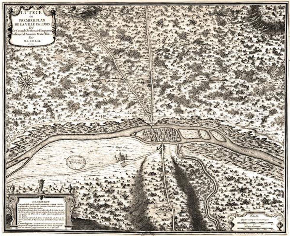
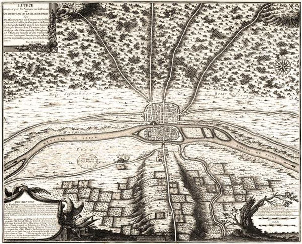
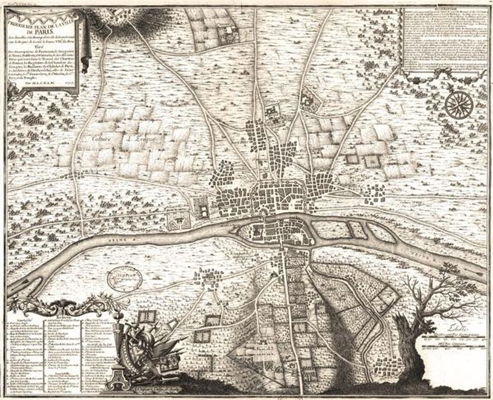
14 Paris Maps, Starting At 360 C.E.
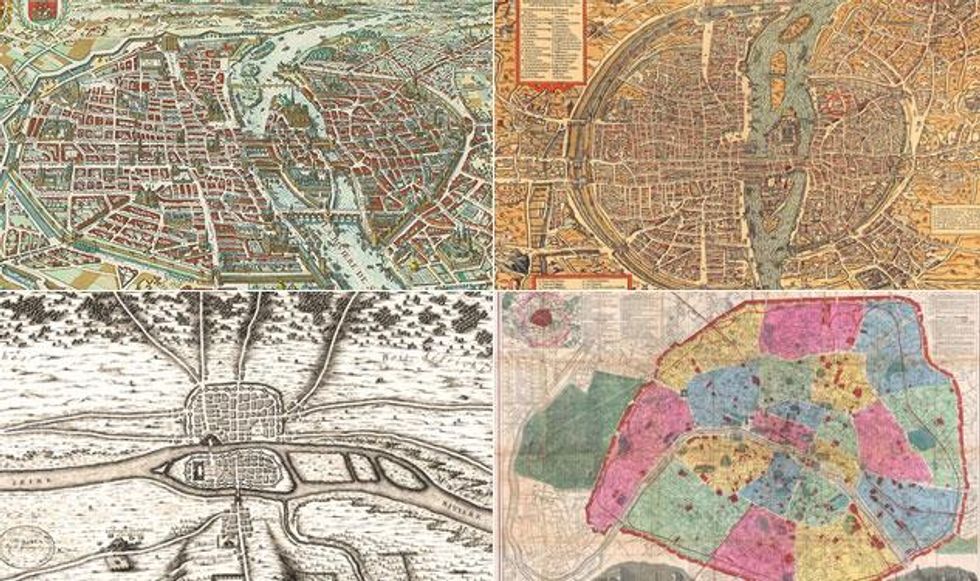
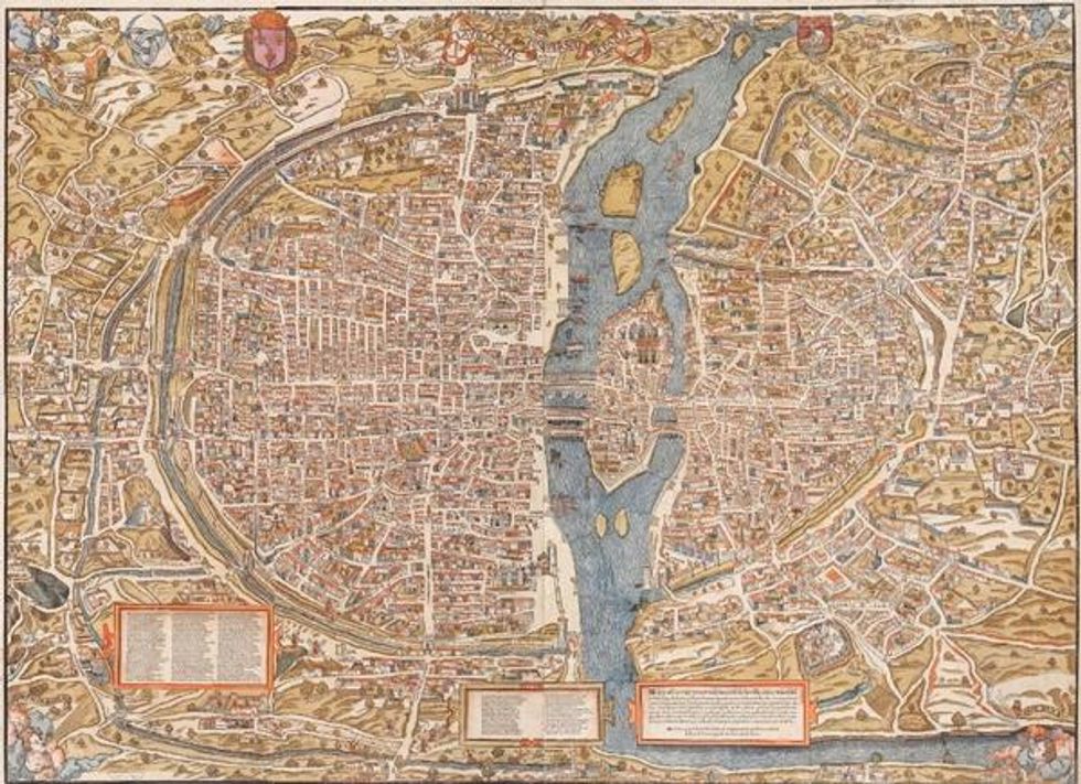
In this series of maps we see Paris grow from a rudimentary, medieval town (360 C.E., above) to a regional hub and, in the final image, into a sprawling urban center born after the Hundred Years war ushered in the early modern period and an erstwhile monarchy.
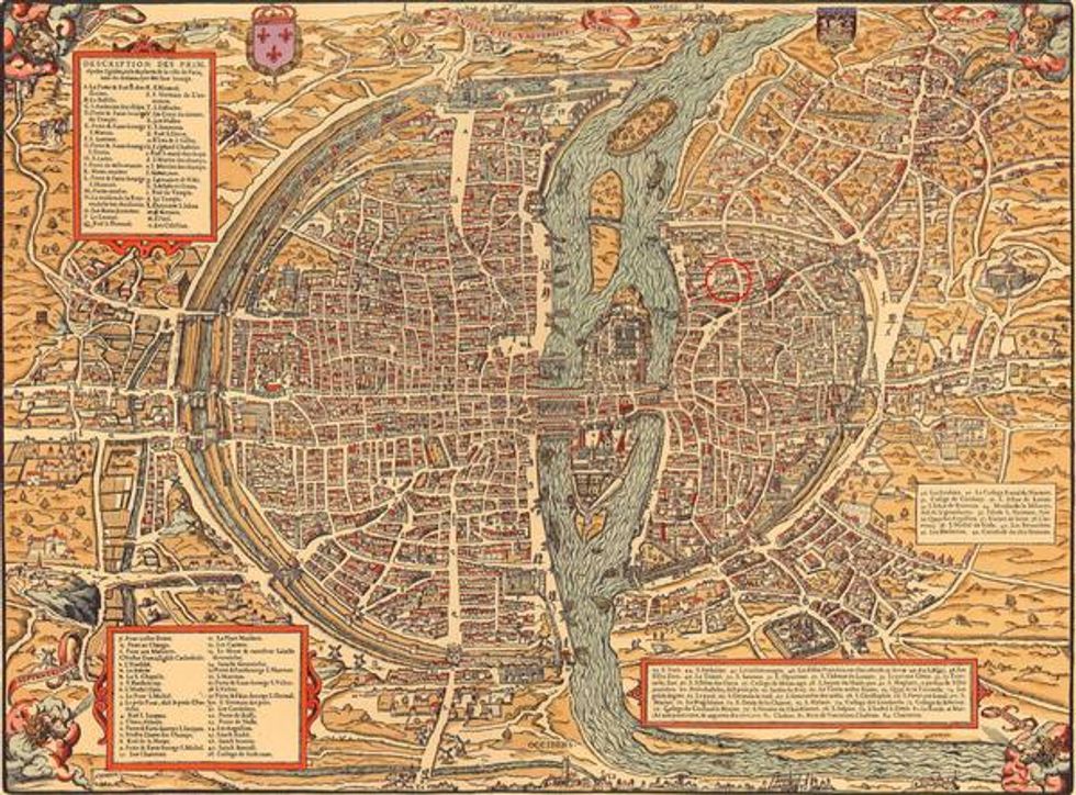
The colorful Renaissance is clearly in full swing by 1550.
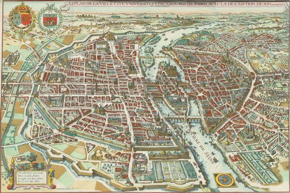
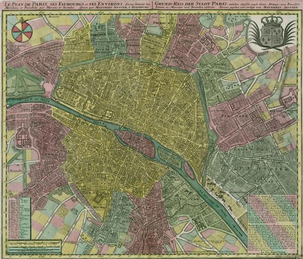
With the Renaissance in full bloom in France, and man's exploratory abilities expanding exponentially, maps became even more ingrained in popular culture. Most of the time they were intricate and artful and reflect the society's general mood, but not always.
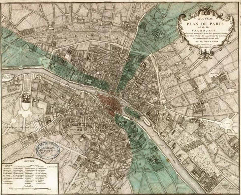
The map from 1800, the year after French people emerged from their revolution, blinking into a bright but unknown future, is surprisingly bleak.
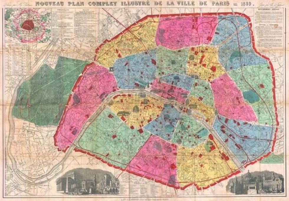
The rise of leisure travel is written on every inch of these maps. Even the example from 1889 (above) shows a greater interest in local attractions and community centers.
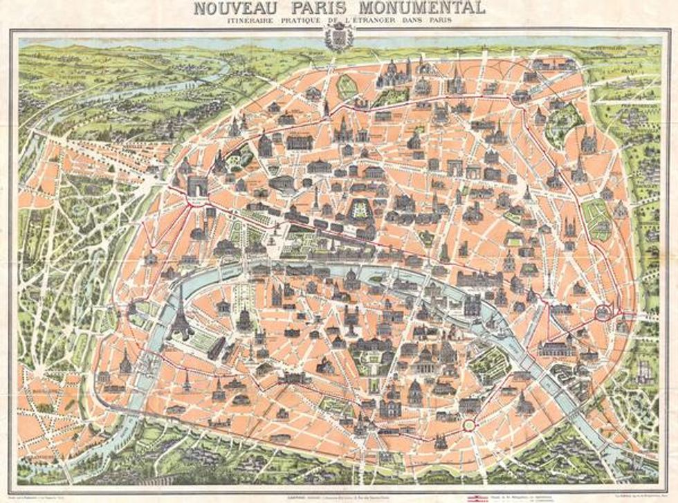
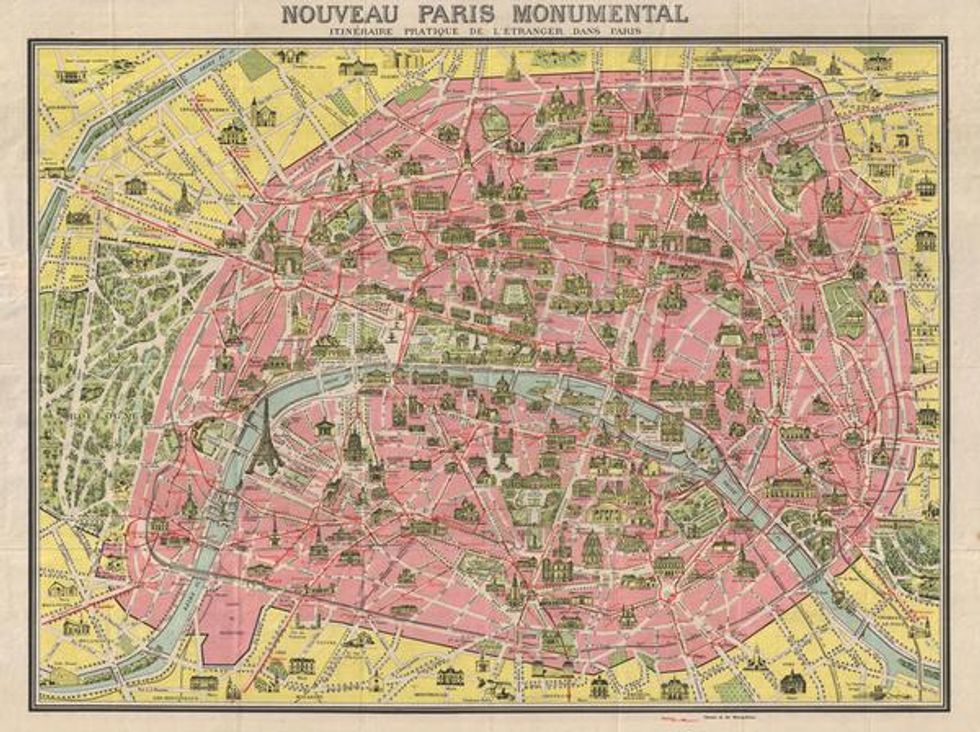
As the years marched on, these locations, soon-to-be full-blown tourist traps, become more prominent and the city's boundaries more clearly marked, dividing the by now cosmopolitan city from the backward arriere-pay.
Images via Old Maps of Paris.





 Replay Gallery


